An internship record for Concordia's Next-Generation Cities Institute
Introduction
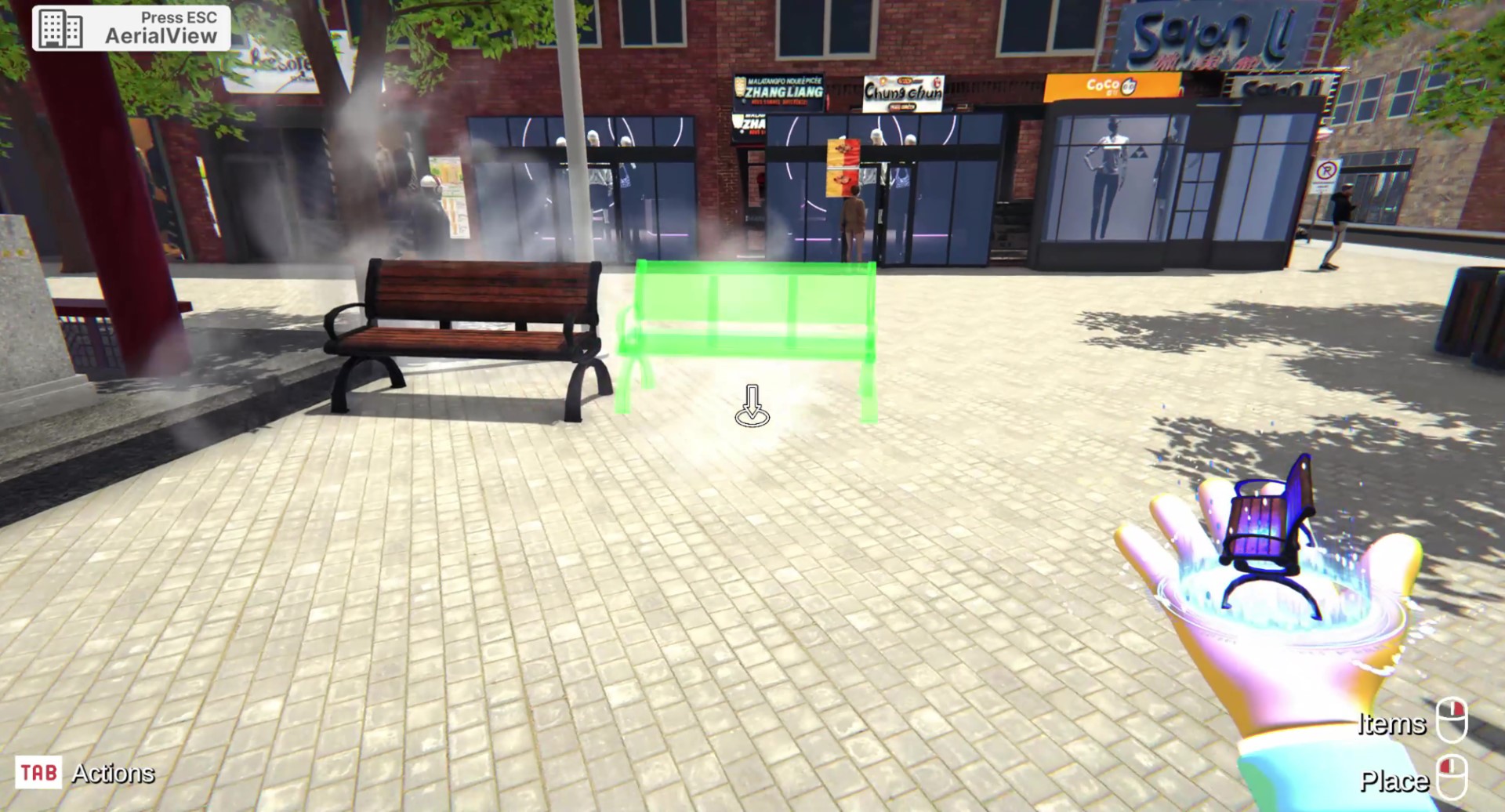
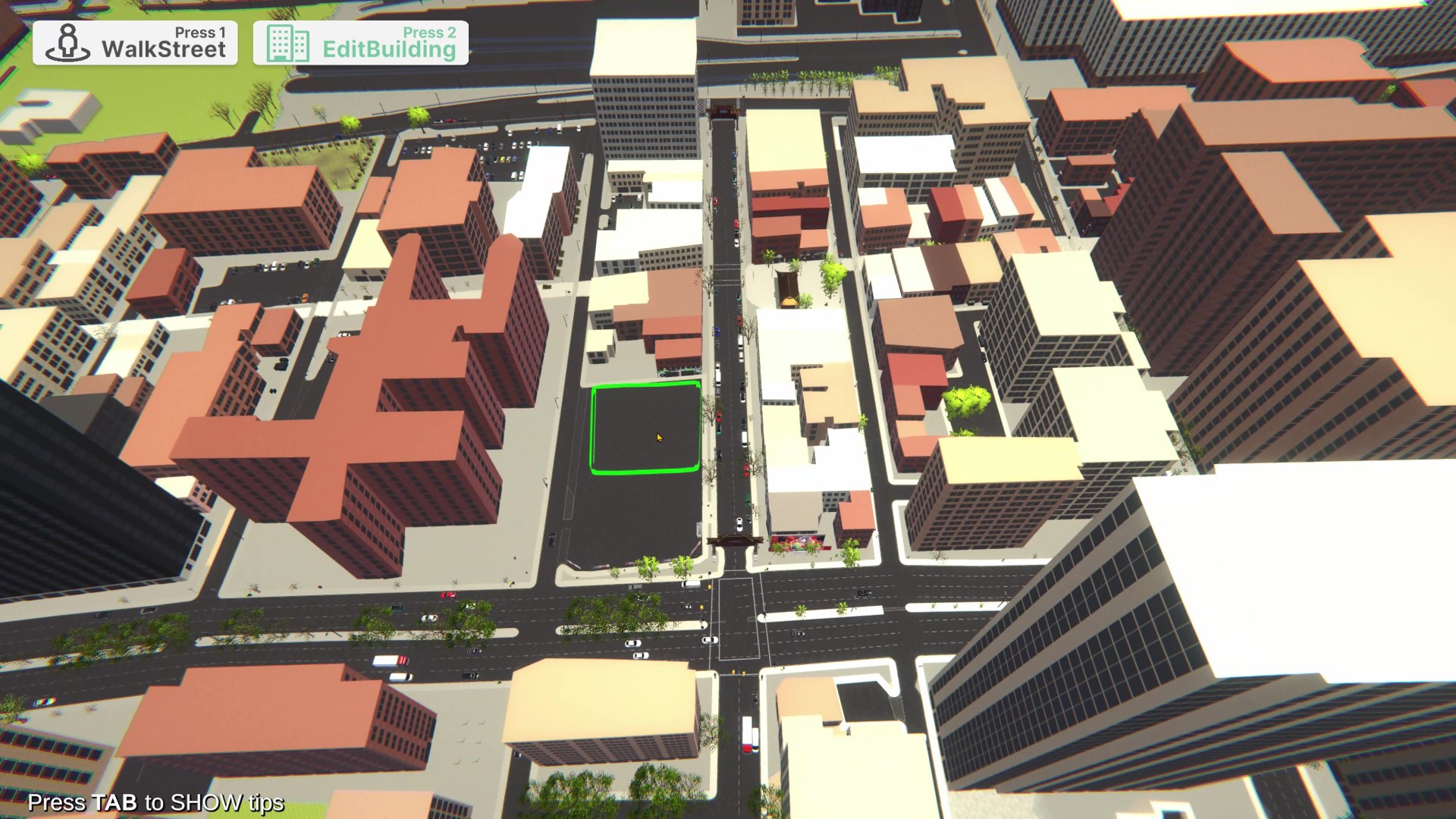
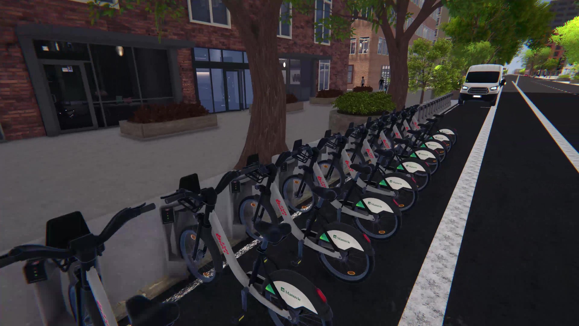
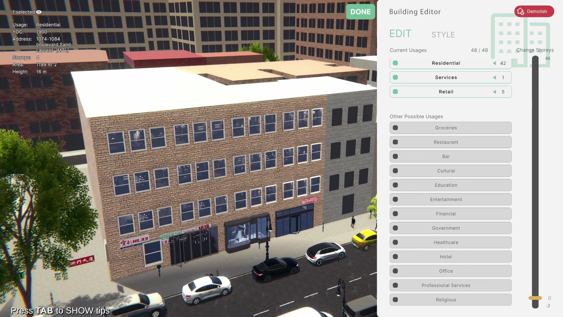
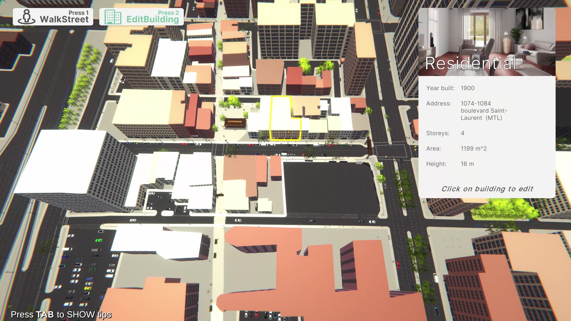
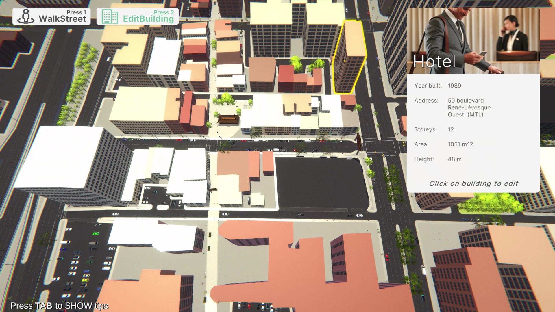
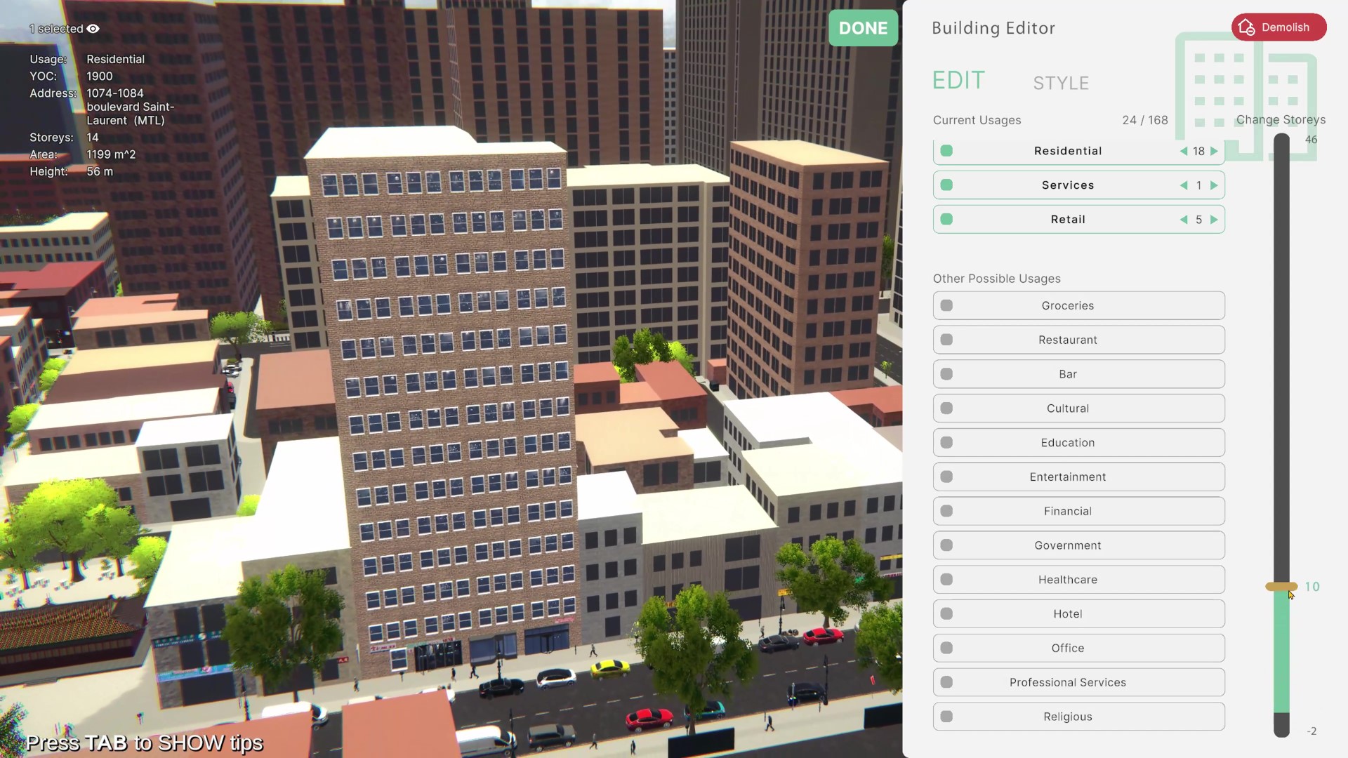
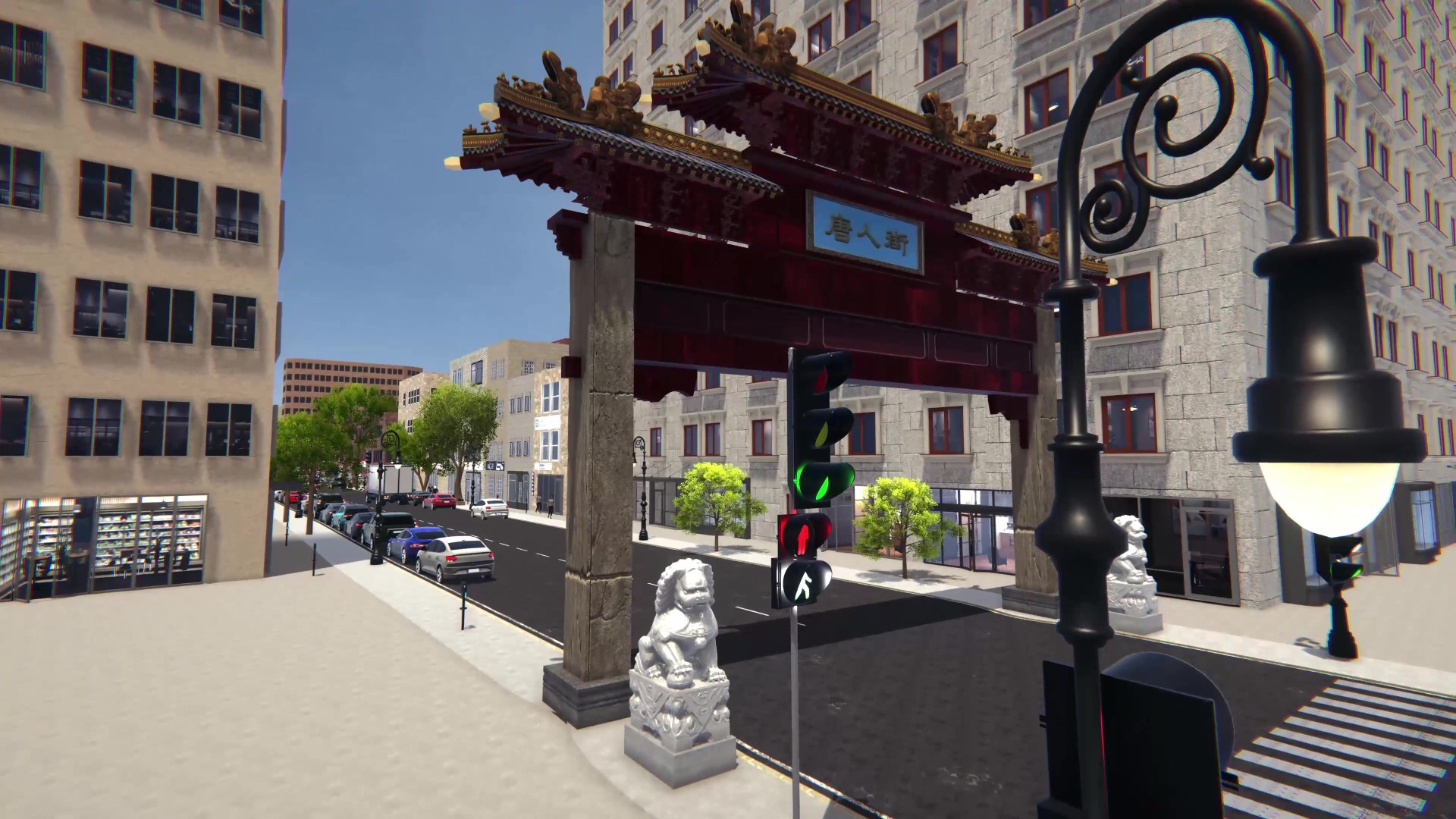
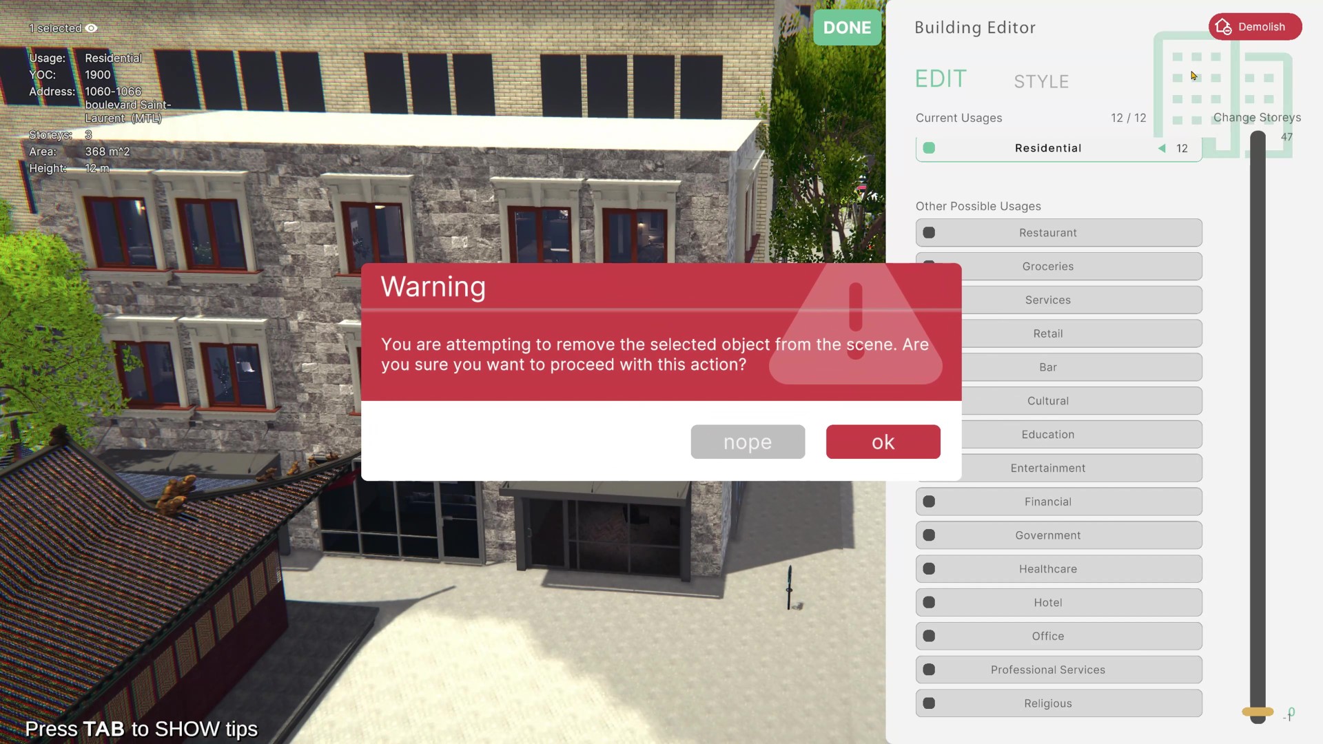
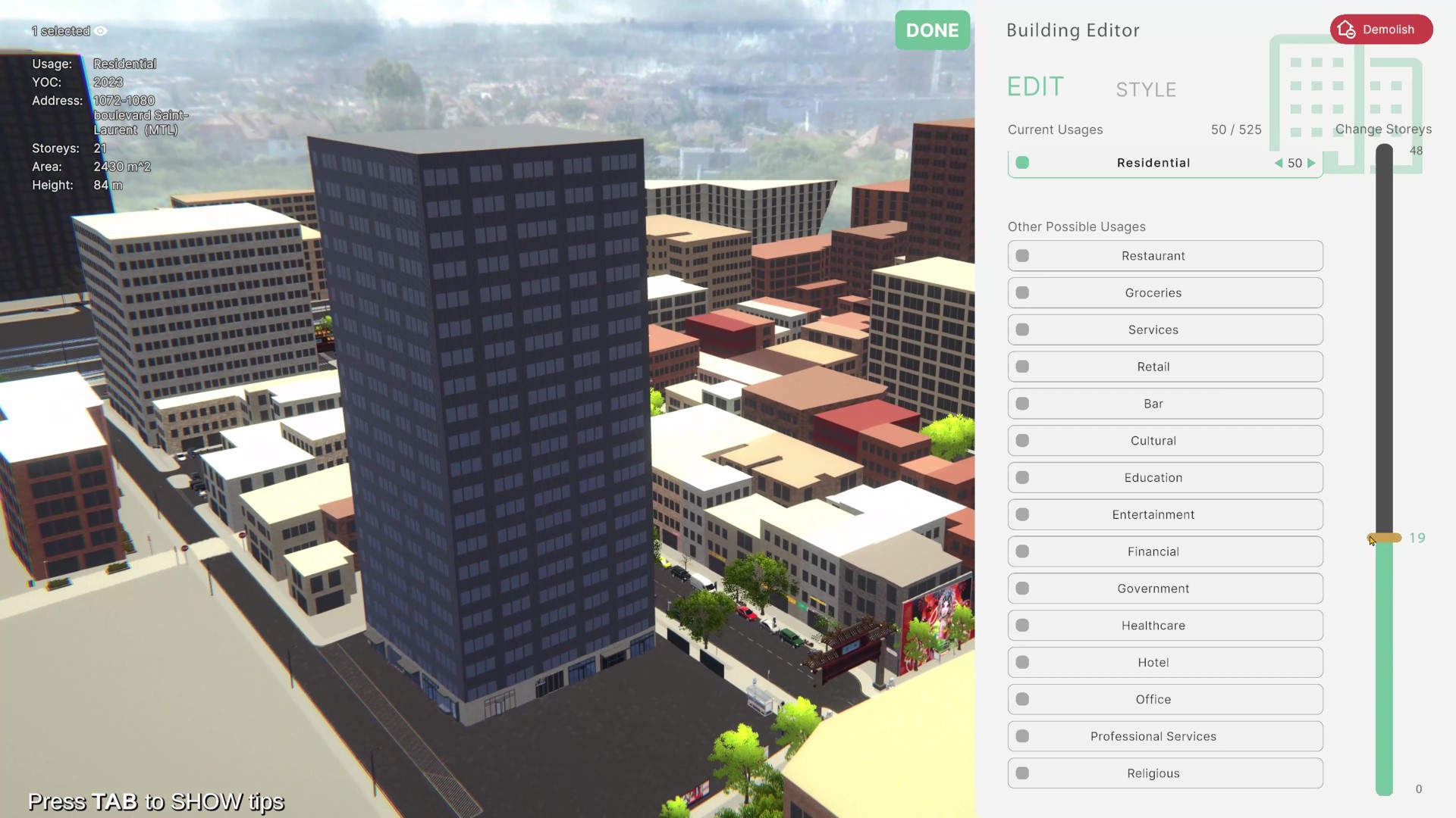
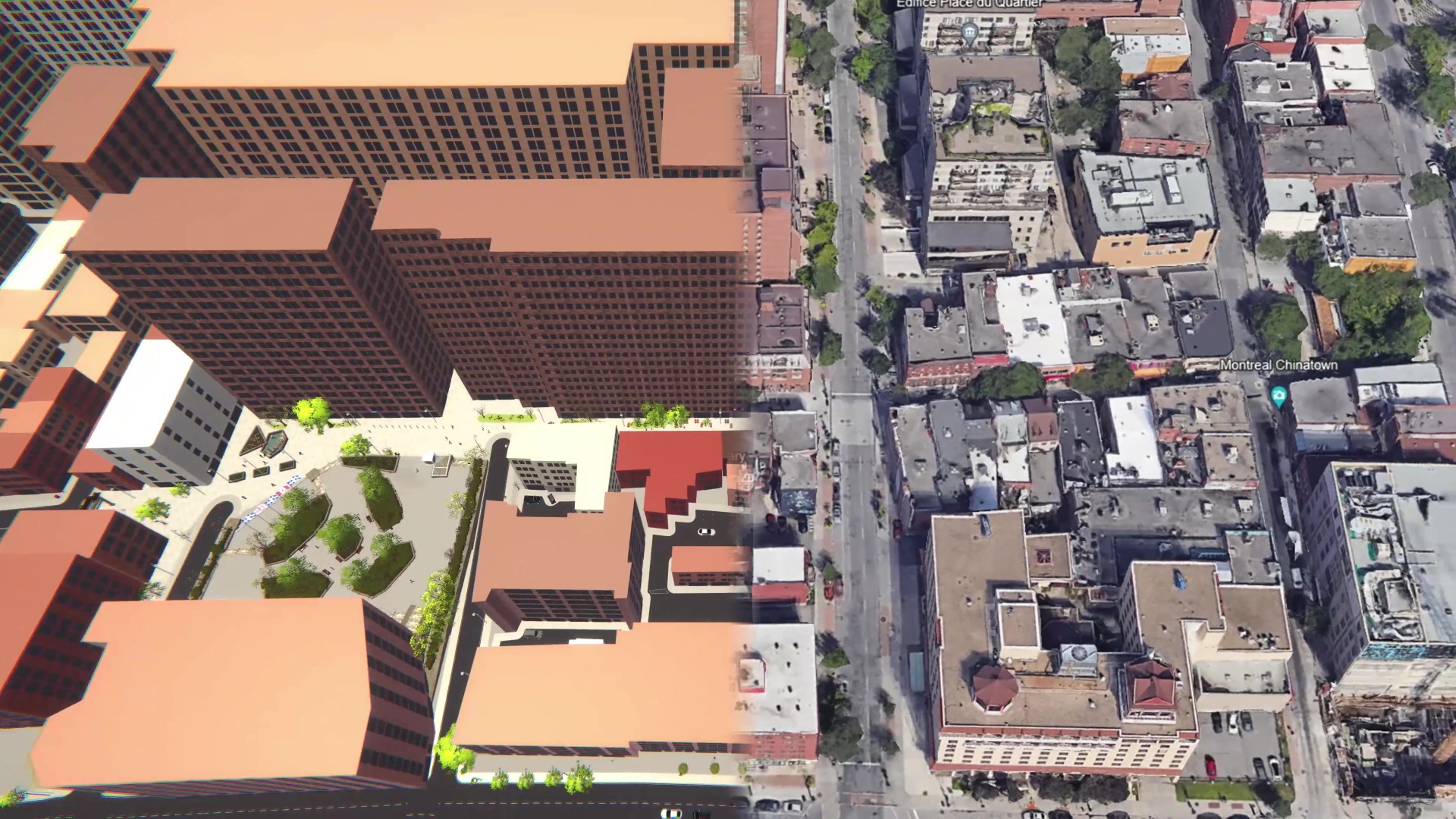
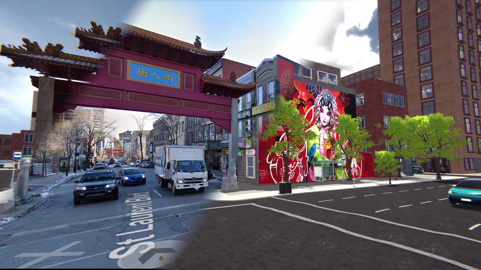
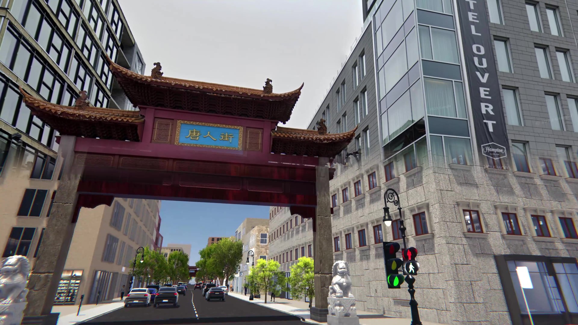
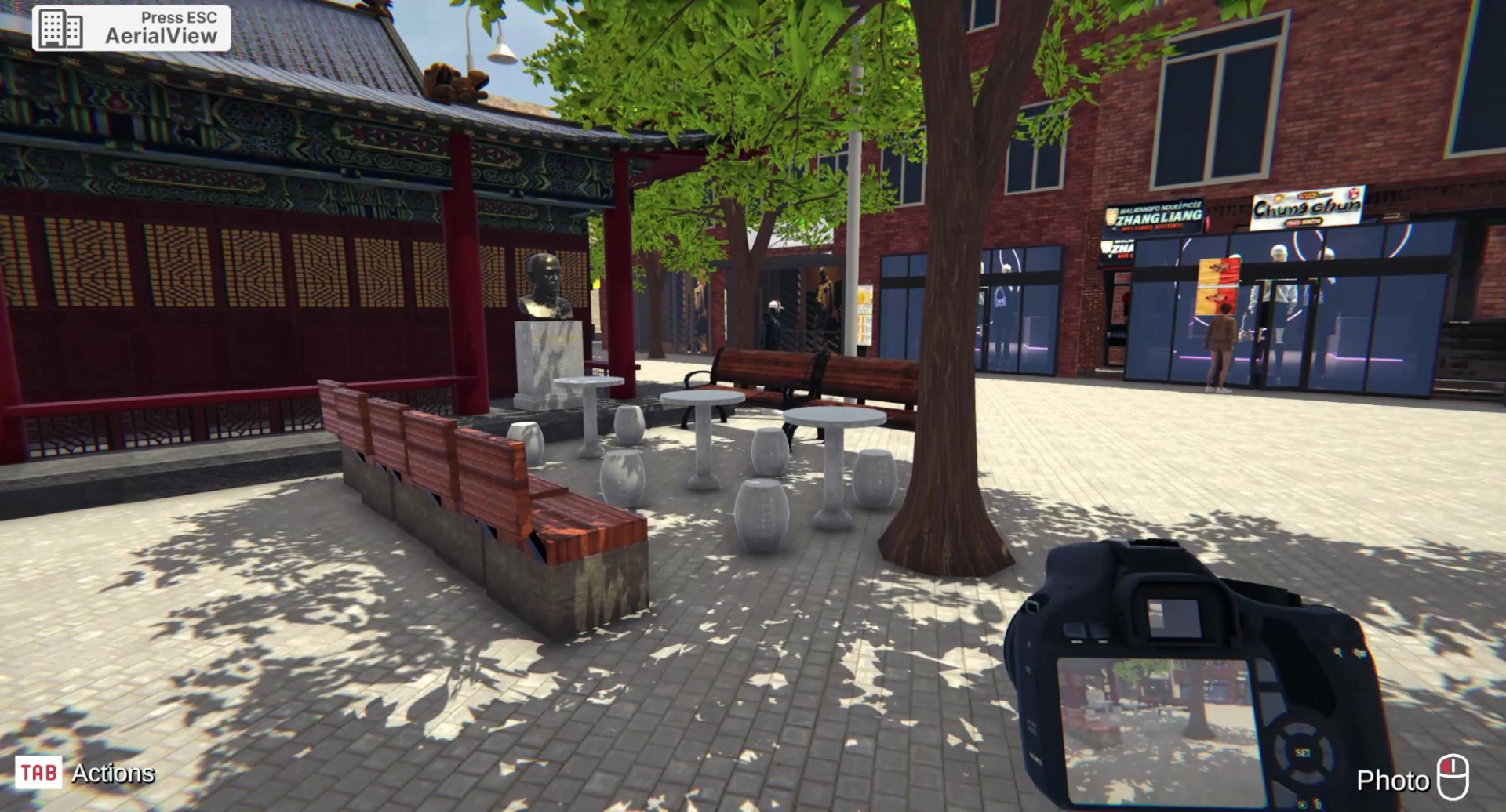
Contributed to early-stage automated modeling using satellite data, public city records, and Google Maps to
instantiate Montreal’s Chinatown district.
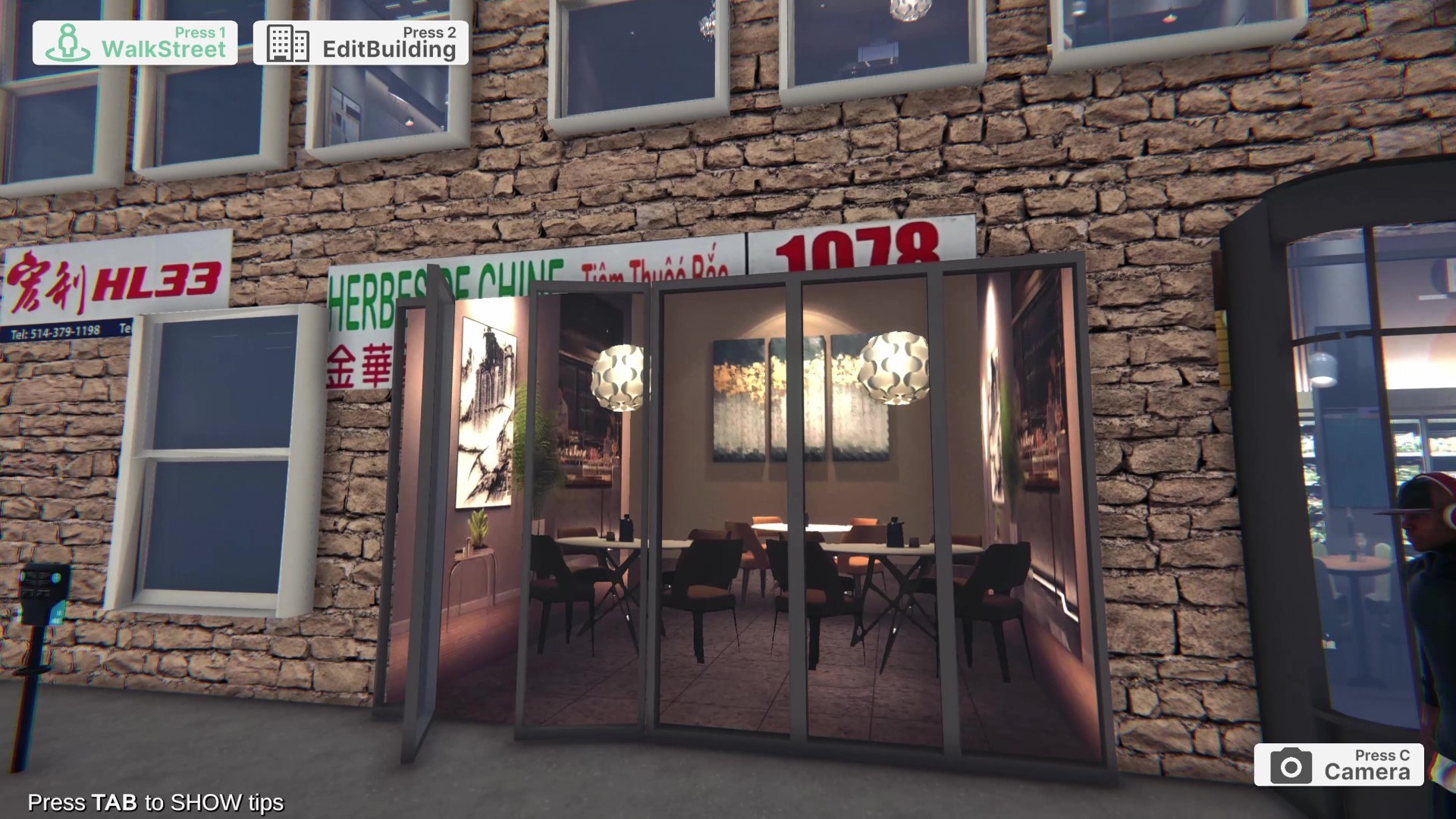
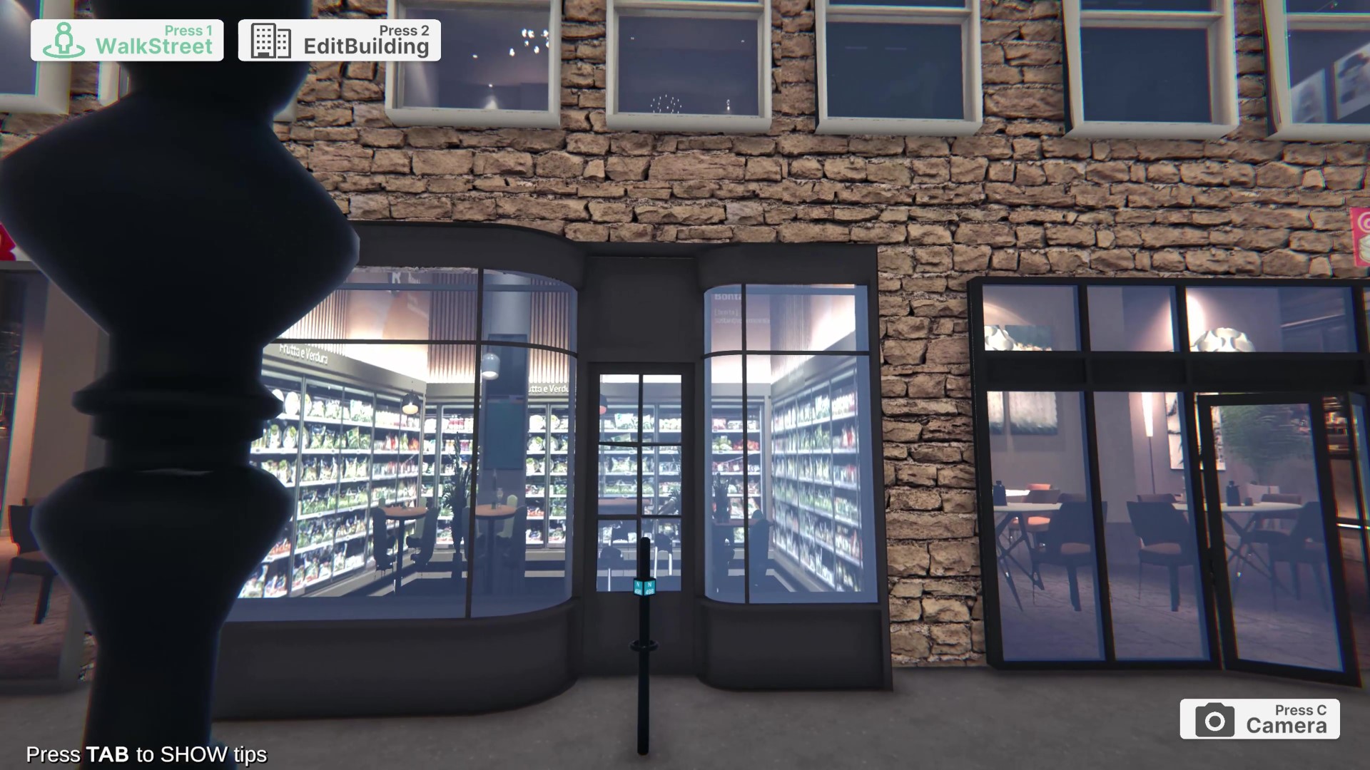
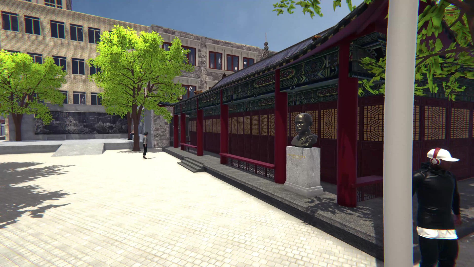
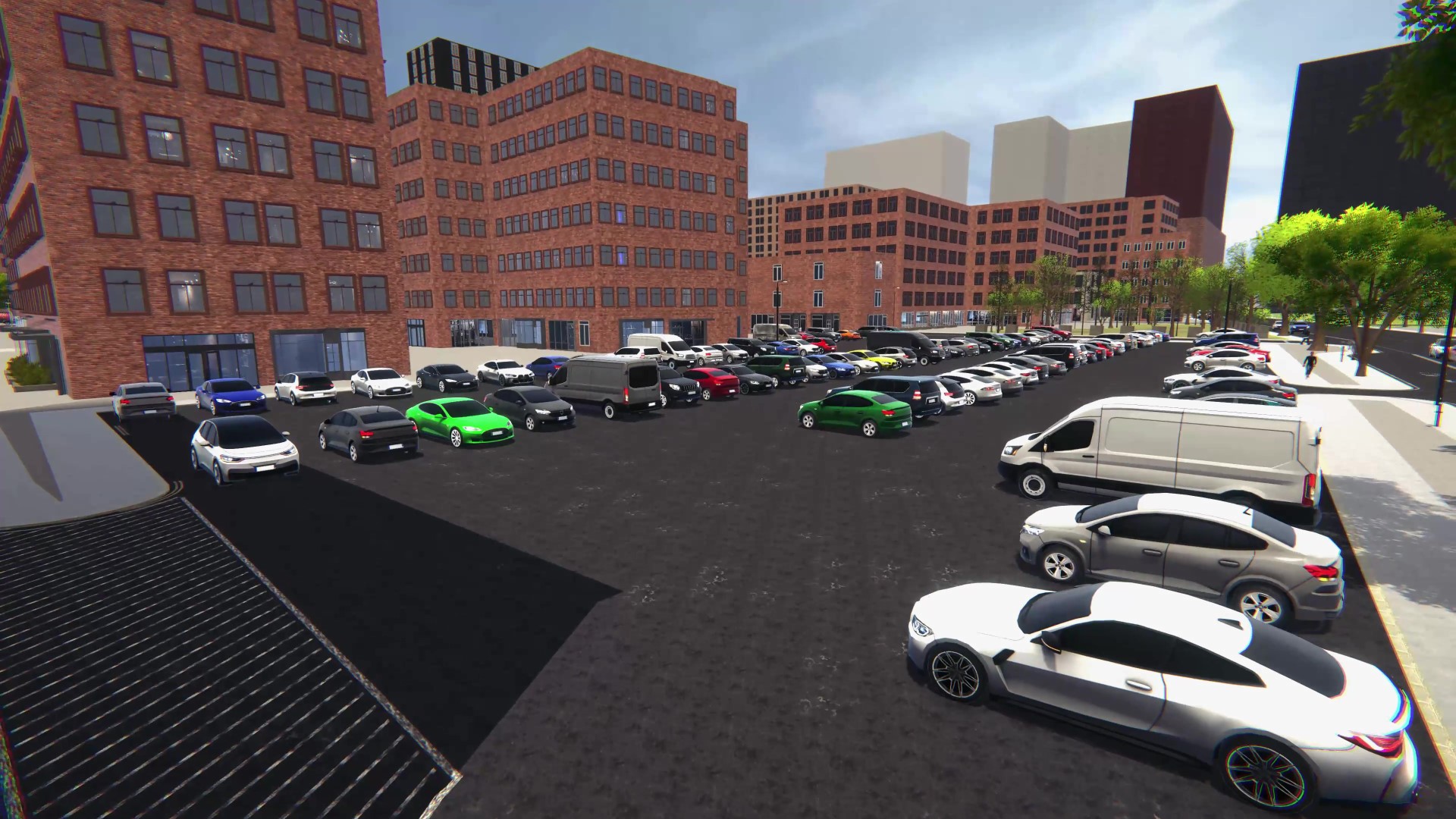
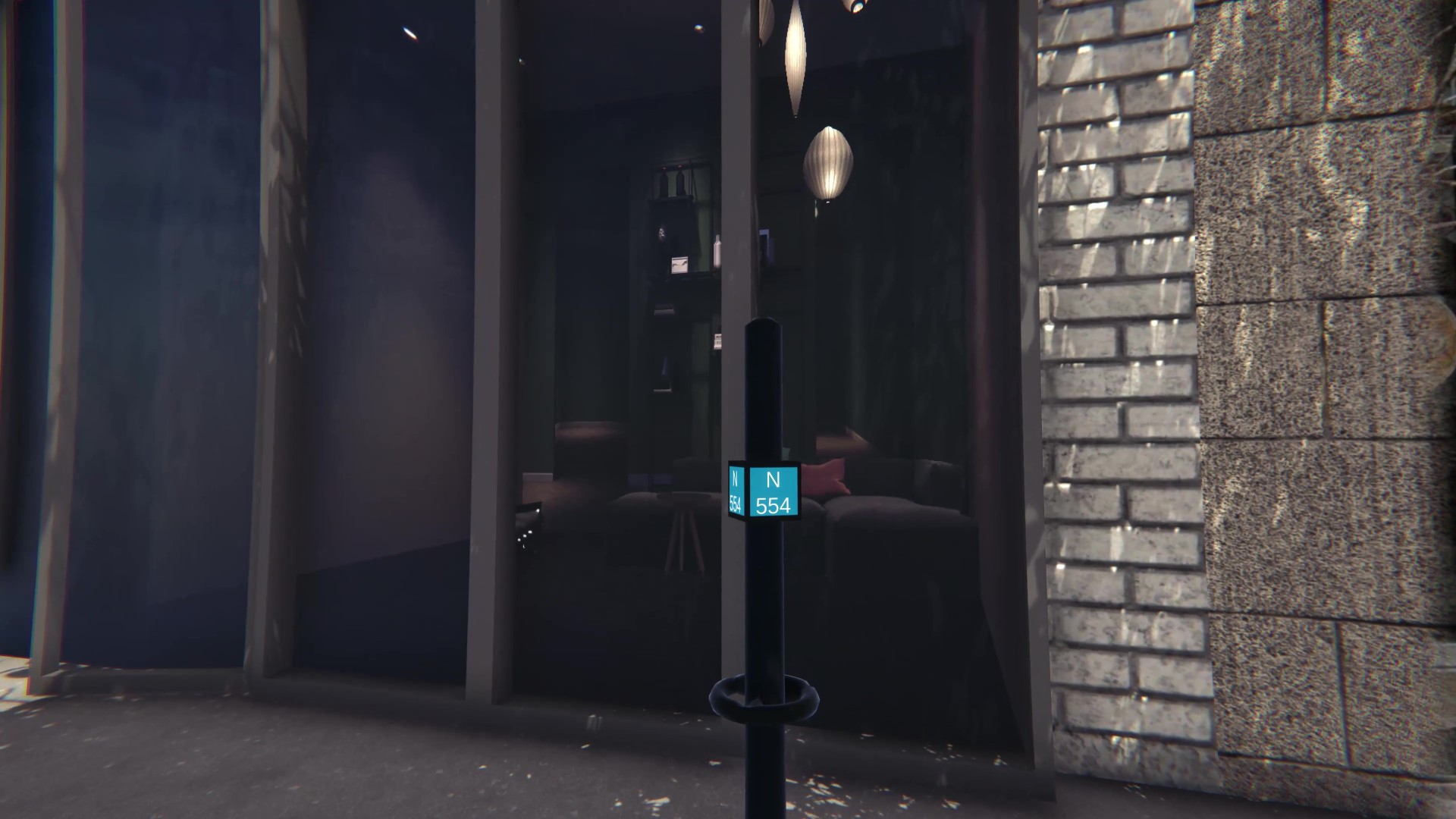
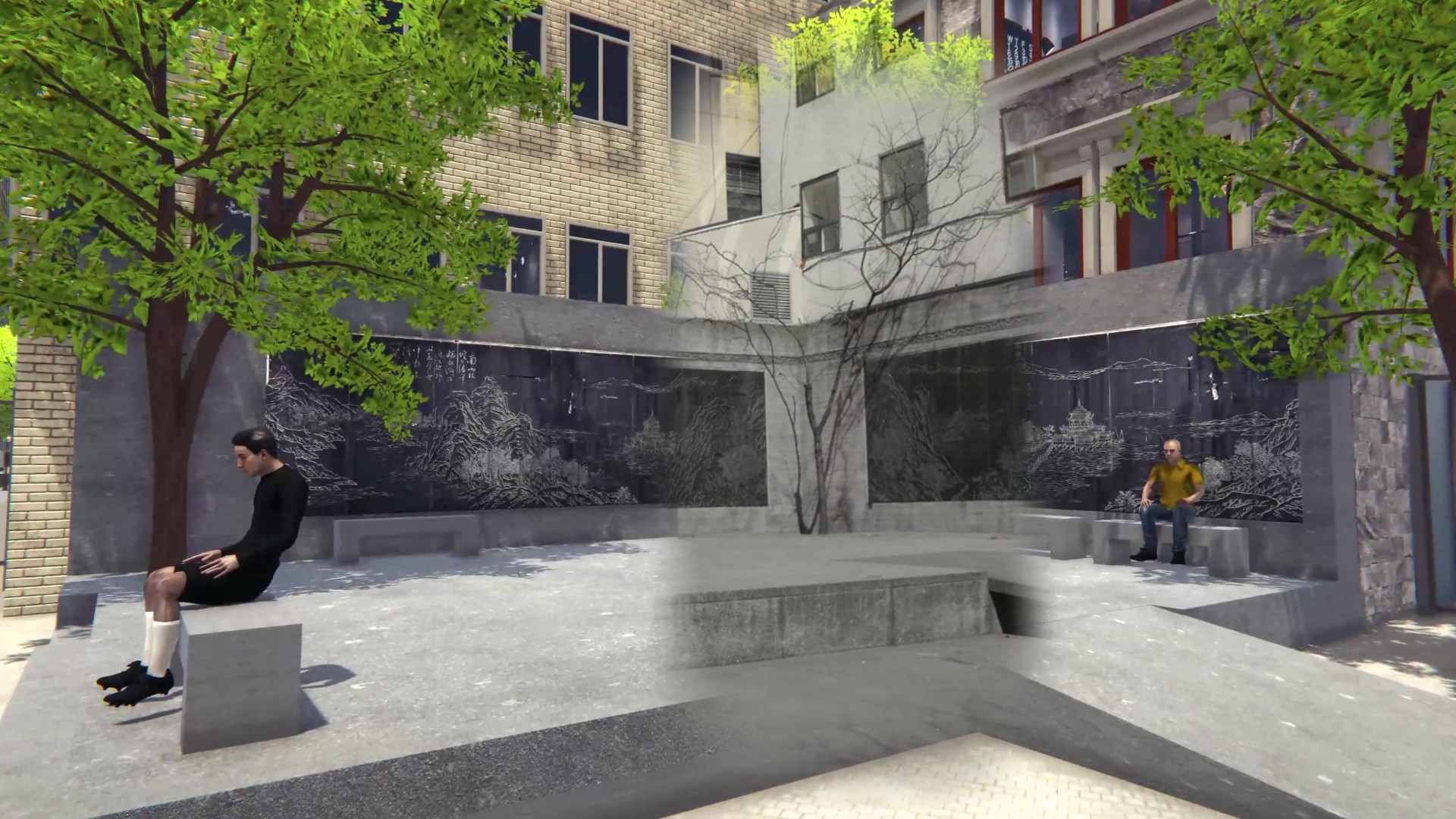
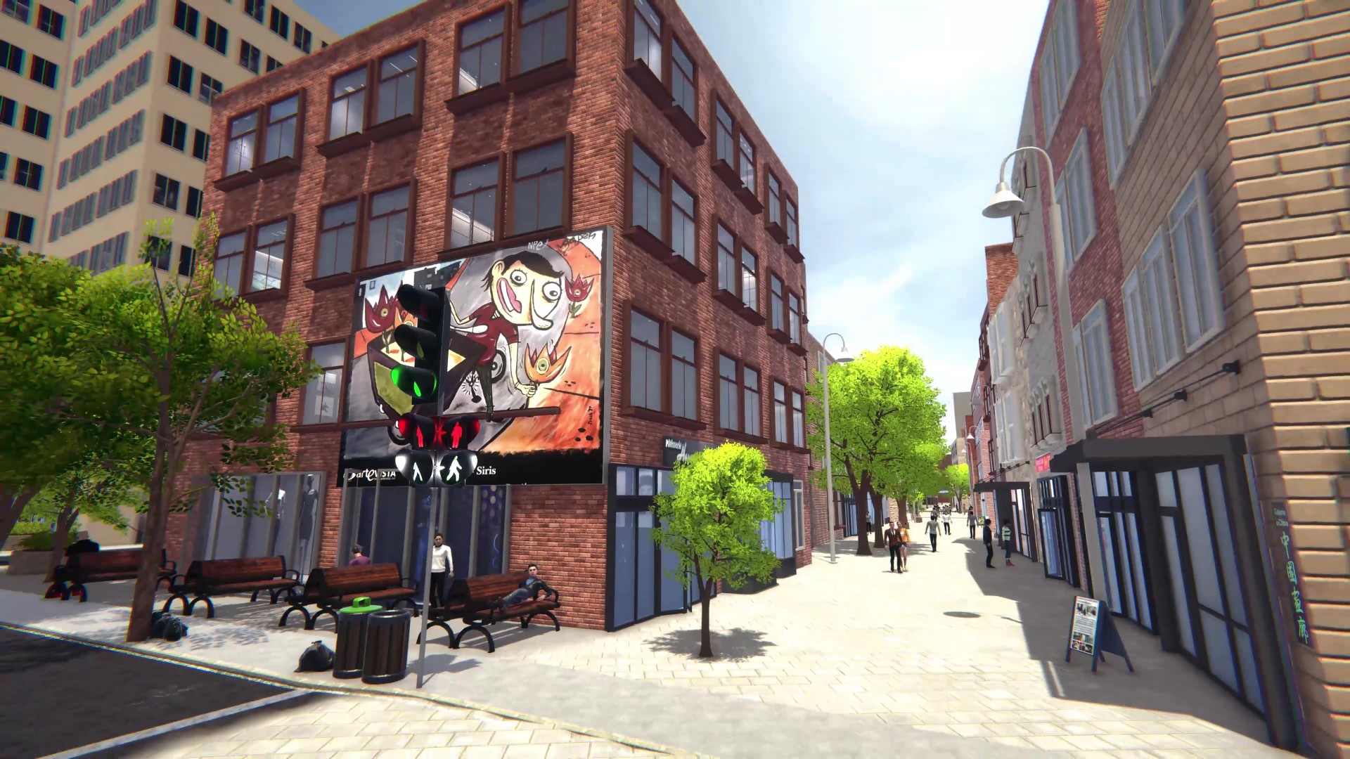
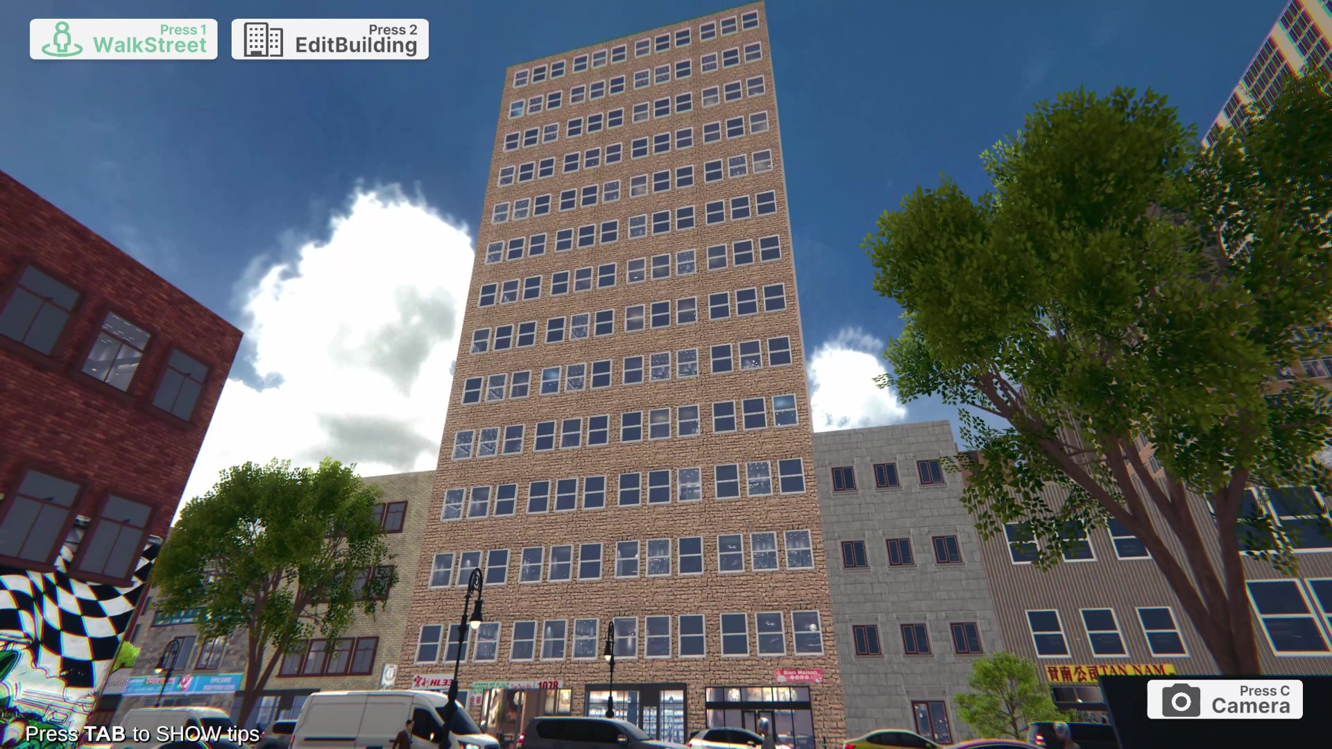
Implemented a procedural window-frame and fake-interior generation system, creating layered visual depth with
adjustable styles based on function and angle of view.
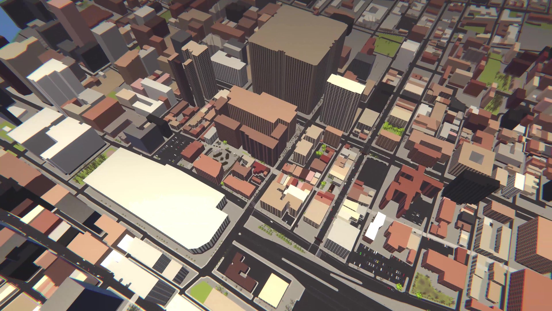
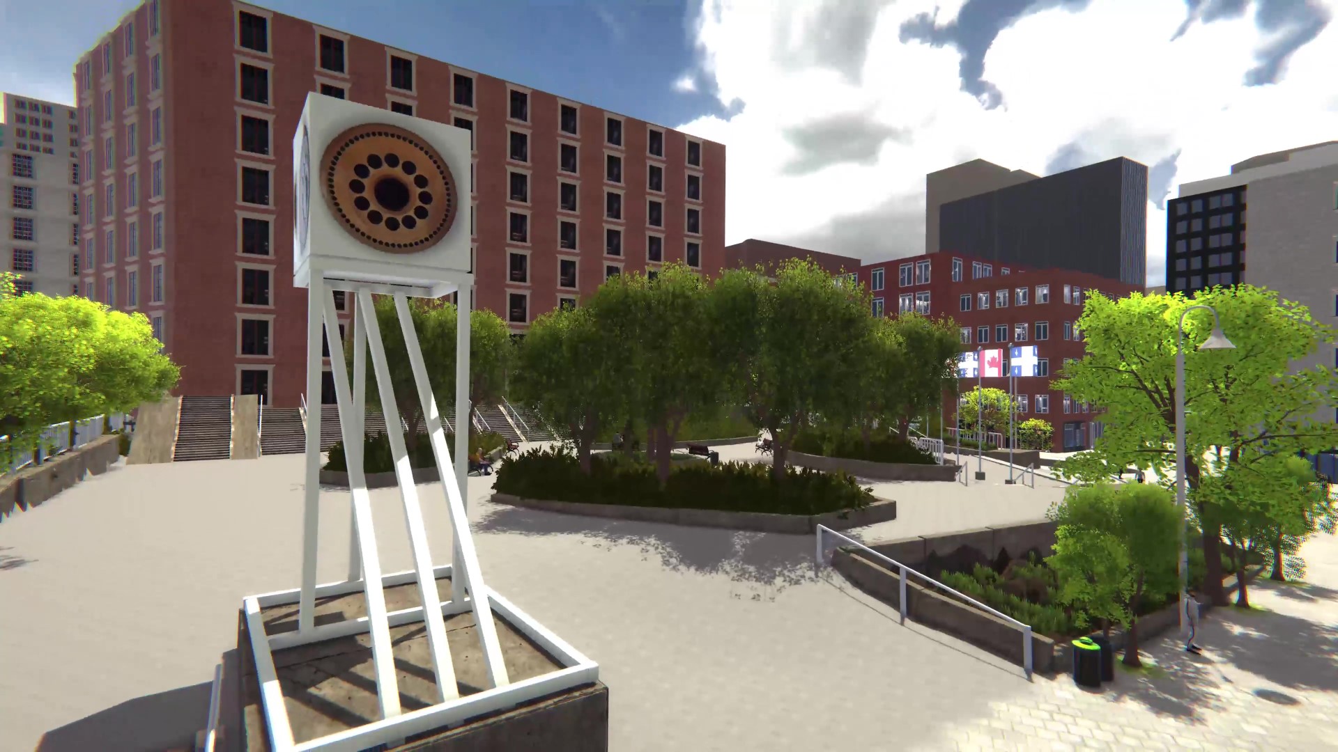
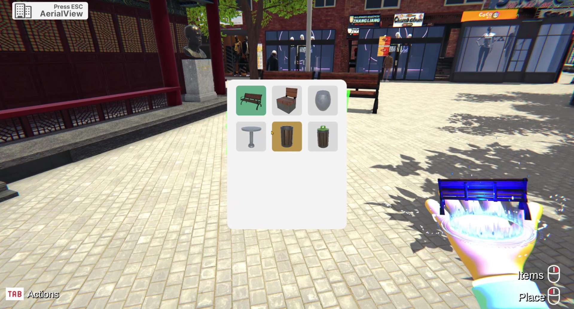
Optimized building performance through LODs, mesh merging, and render cost reduction techniques.
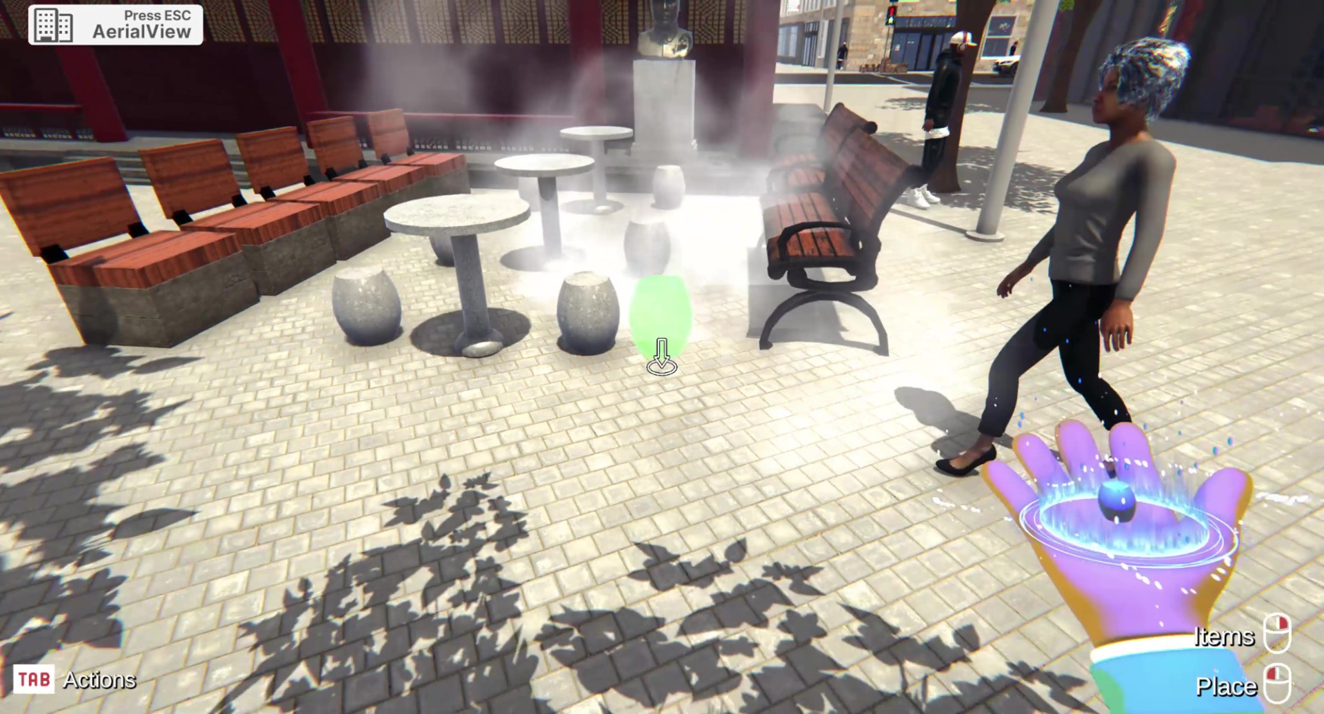
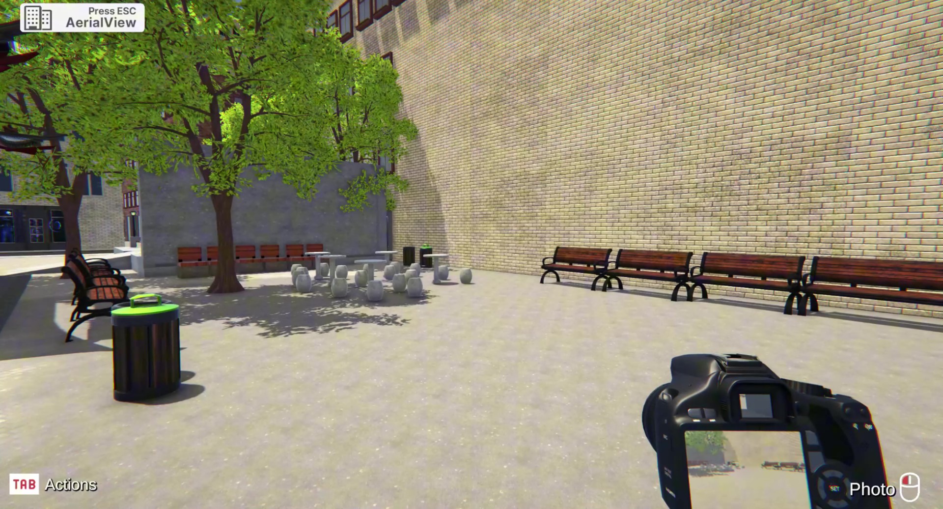
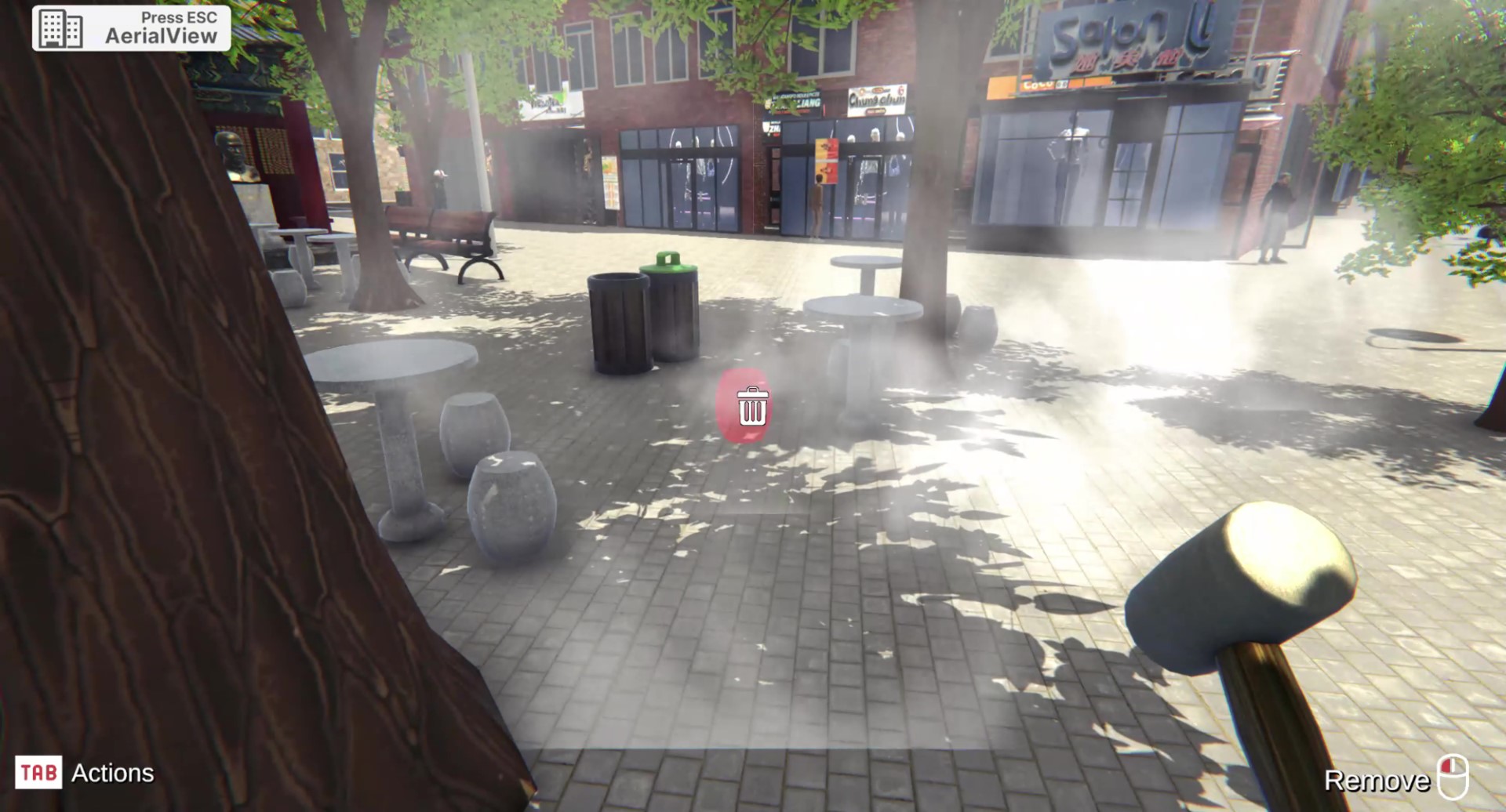
Led vegetation asset simplification by classifying 100 urban plant types using ChatGPT and consolidating them into 10 reusable models, improving scene organization and runtime efficiency.